
Digital Twins and Measured Surveys: What Property Professionals Need to Know
Digital twins have moved from construction jargon to practical property tool. Here's what a digital twin actually is, how measured surveys create one, and where agents, landlords and developers are using them today.
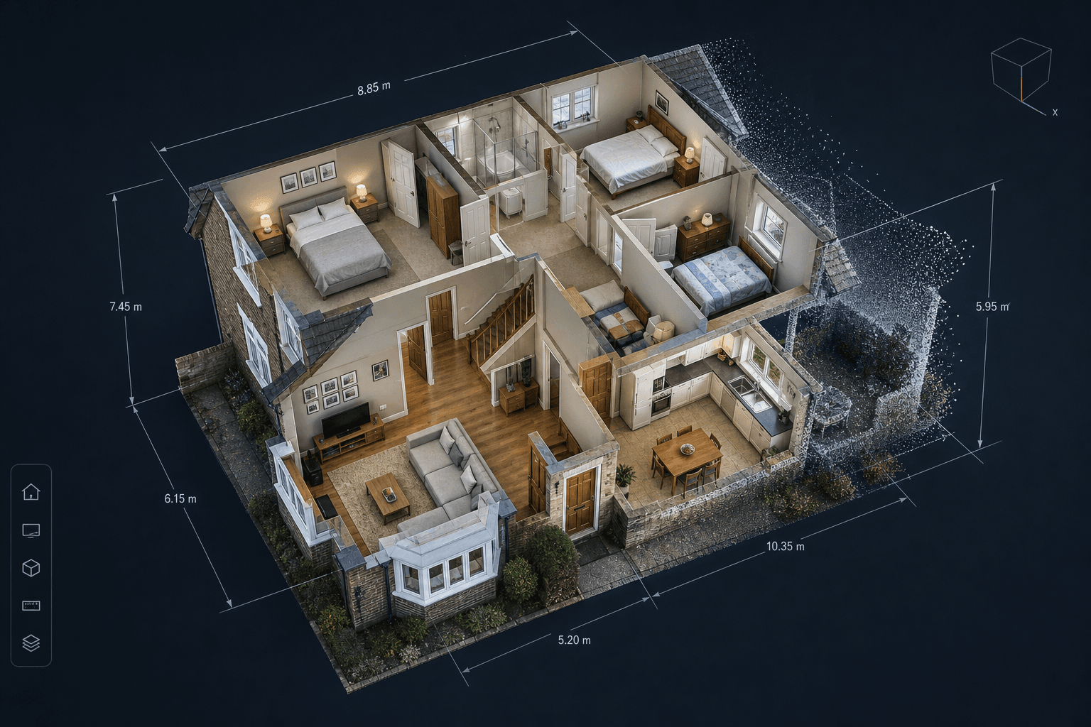
Key Takeaways
- A digital twin is a dimensionally accurate 3D replica of a building — measurable, not just viewable.
- One scan produces multiple outputs — virtual tour, 2D floor plans, lease plans, elevations and point cloud data.
- Marketing tours prioritise looks; measured surveys prioritise accuracy — digital twins deliver both from one visit.
- Agents use twins for remote viewings and instructions; landlords for space management; developers for refurbishment planning.
- Scanning is faster and less disruptive than traditional tape-and-laser surveys, especially for occupied buildings.
"Digital twin" spent years as construction-industry jargon — something for airports and infrastructure megaprojects. That's over. Scan technology has become fast and affordable enough that ordinary houses, offices and venues are being twinned routinely, and the property professionals using them have quietly gained an edge in how they market, measure and manage buildings.
Here's a practical explainer: what a digital twin actually is, how one gets made, and what it's genuinely useful for. For a shorter primer, see our guide to what a digital twin is.
A Digital Twin Is a Replica You Can Measure
The simplest definition: a digital twin is an accurate 3D digital replica of a real building.
The key word is accurate. A marketing virtual tour is a set of attractive panoramas linked together — great for viewing, useless for measuring. A digital twin is built from survey-grade capture, which means:
- Every wall, door and window sits at its true measured position
- Distances, heights and areas can be measured directly in the model
- 2D floor plans, elevations and sections can be extracted at any time
- The model remains a permanent, reusable record of the building as it existed on scan day
Platforms like Matterport popularised the hybrid: one scan that produces both the attractive walkthrough and the measurable model — the famous "dollhouse view" is a digital twin wearing marketing clothes.
How a Twin Gets Made: The Measured Survey
Creating a twin is a modern measured survey. Instead of a surveyor working room to room with a laser measure and notepad, the building is captured wholesale:
- Scanning. LiDAR laser scanners or photogrammetry-capable 360° cameras capture millions of measured points — the point cloud — plus photographic imagery, room by room.
- Registration. Software aligns every scan position into one coherent, dimensionally accurate 3D model.
- Deliverables. From that single dataset: 2D floor plans, lease plans, elevations and sections, area reports, virtual tours, and point cloud or BIM files for design teams.
The on-site efficiency is the quiet revolution. A traditional survey of a complex building means hours of measuring and the risk of a return visit for the dimension nobody wrote down. A scan captures everything — if the architect later asks for a ceiling height in a cupboard, it's in the model. For occupied homes, tenanted offices and operating venues, one short visit instead of repeated disruption matters enormously.
Accuracy is fit-for-purpose: professional scanning delivers centimetre-level precision — ample for floor plans, lease plans, space planning and refurbishment design — with higher-grade equipment available where structural work demands more. (RICS measurement standards still govern how areas are reported; the scan just makes the measuring better. See RICS measuring standards explained.)
What Property Professionals Actually Use Twins For
Estate agents get the marketing outputs — tour, plans, imagery — from one visit, plus a genuine differentiator at valuation: "we'll create a complete digital twin of your property" wins instructions against a competitor offering photos. Remote buyers can measure rooms themselves, which qualifies enquiries the way virtual tours reduce wasted viewings — but with a tape measure attached.
Landlords and facilities teams use twins as the single source of truth for a building: accurate areas for lease negotiations and service charge apportionment, remote condition checks, and contractor briefings where the plumber sees the plant room before quoting. For portfolios, twins end the era of the out-of-date O&M folder.
Architects and developers start refurbishment design from the point cloud instead of a fresh survey — existing conditions captured completely, fed straight into CAD/BIM. For phased schemes, scan-day records also become dispute-proof evidence of condition. This pairs naturally with the CGI pipeline for developments: the twin documents what exists; CGI visualises what's proposed.
Venues and institutions — theatres, hotels, schools, showrooms — use twins for everything from seat-view marketing (see our Apollo Victoria project) to event planning and safety documentation.
Twin, Tour or Traditional Survey?
The honest decision tree:
- Marketing only, standard listing — a 360° virtual tour is enough; you don't need survey-grade accuracy to sell a two-bed flat.
- Marketing plus plans — a scan-based capture that yields tour and accurate floor plans from one visit is the efficient buy; this is now the default for quality instructions.
- Legal plans, design work, space management — you need the measured survey. Get the digital twin rather than a paper-output-only survey; the reusable model costs little more and keeps paying.
- Structural or millimetre-critical work — specify survey-grade terrestrial laser scanning explicitly.
Our comparison of Matterport vs 360 virtual tours covers the platform side of this choice.
One Scan, Every Output
Photoplan provides digital twin and measured survey services alongside Matterport scanning across London and the UK — from single flats needing accurate plans to venues and commercial buildings needing full point cloud deliverables.
Get in touch to talk through what your building needs — and what one visit can capture.
Frequently Asked Questions

The Photoplan Team
Property Media Specialists
The Photoplan team produces property photography, floor plans, tours, video and CGI that help estate agents, developers and commercial clients market property beautifully.
Need a digital twin or measured survey?
Photoplan delivers digital twin scanning and measured surveys across London and the UK — accurate 3D capture with floor plans, lease plans and virtual tours generated from a single visit.
Estate agents book through the app · One-off customers order in the shop · or contact us
Related Articles
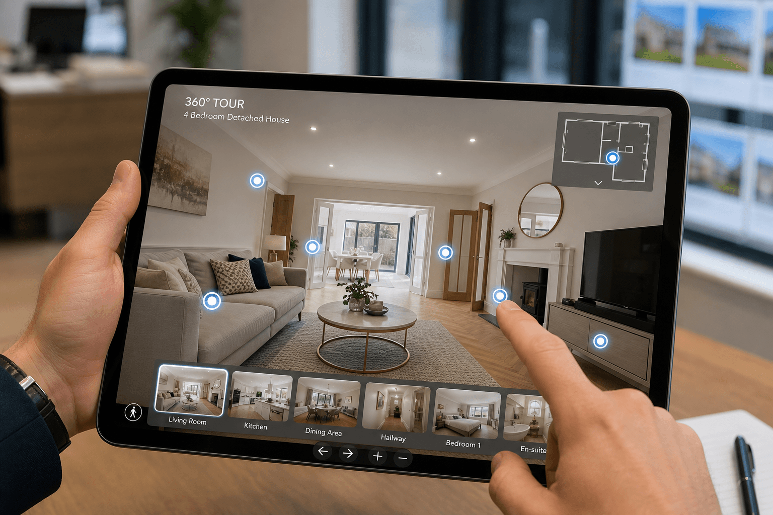
360 Virtual Tours UK: What Estate Agents Should Expect from a Tour Provider
Looking for 360 virtual tours UK? Here is what a professional tour includes, how it differs from Matterport and video, and how agents should brief and embed tours on portals.
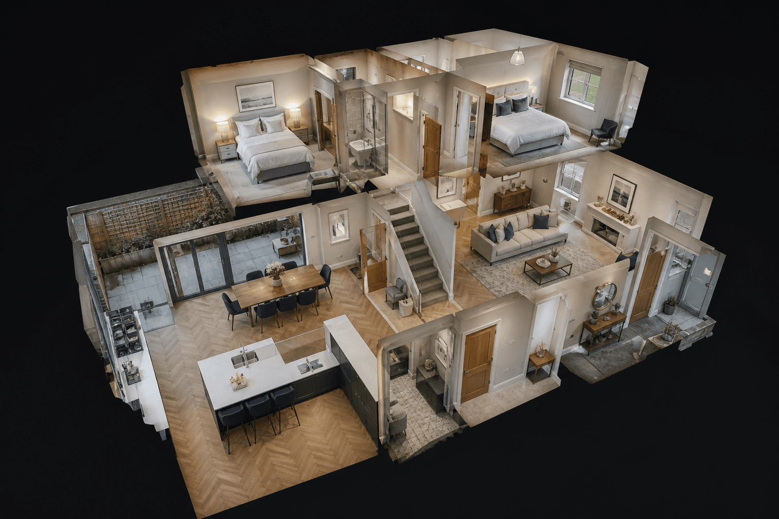
Matterport Scanning Services UK: What Agents and Landlords Get
Matterport scanning is more than a fancy tour. Here is what UK Matterport scanning services actually deliver — dollhouse view, measurements, schematic plans — and when to book them.
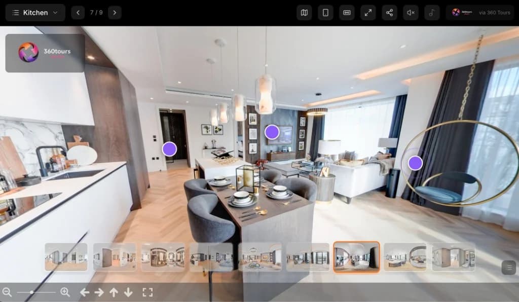
360 Virtual Tours for Commercial Property and Business Premises
Offices, retail units, hotels, restaurants and industrial space all let and sell faster when occupiers can walk through online first. How commercial 360 tours work, what they cost and where they pay off.